


MARION TWP DIST 01, Berks County, Pennsylvania
About
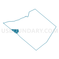
Outline

Summary
| Unique Area Identifier | 657399 |
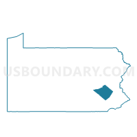
| Name | MARION TWP DIST 01 |
| County | Berks County |
| State | Pennsylvania |
| Area (square miles) | 15.13 |
| Land Area (square miles) | 15.08 |
| Water Area (square miles) | 0.05 |
| % of Land Area | 99.66 |
| % of Water Area | 0.34 |
| Latitude of the Internal Point | 40.39257010 |
| Longtitude of the Internal Point | -76.22978820 |
Maps

Graphs
Select a template below for downloading or customizing gragh for MARION TWP DIST 01, Berks County, Pennsylvania


Neighbors
Neighoring Voting District (by Name) Neighboring Voting District on the Map
- HEIDELBERG TWP DIST 01, Berks County, PA
- JACKSON TWP VTD EAST, Lebanon County, PA
- JEFFERSON TWP DIST 01, Berks County, PA
- MILLCREEK TWP Voting District, Lebanon County, PA
- NORTH HEIDELBERG TWP DIST 01, Berks County, PA
- TULPEHOCKEN TWP DIST 01, Berks County, PA
- TULPEHOCKEN TWP DIST 02, Berks County, PA
- WOMELSDORF DIST 01, Berks County, PA
Top 10 Neighboring County Subdivision (by Population) Neighboring County Subdivision on the Map
- Jackson township, Lebanon County, PA (8,163)
- Millcreek township, Lebanon County, PA (3,892)
- Tulpehocken township, Berks County, PA (3,274)
- Womelsdorf borough, Berks County, PA (2,810)
- Jefferson township, Berks County, PA (1,977)
- Heidelberg township, Berks County, PA (1,724)
- Marion township, Berks County, PA (1,688)
- North Heidelberg township, Berks County, PA (1,214)
Top 10 Neighboring Place (by Population) Neighboring Place on the Map
Top 10 Neighboring Unified School District (by Population) Neighboring Unified School District on the Map
- Eastern Lebanon County School District, PA (20,705)
- Conrad Weiser Area School District, PA (19,284)
- Tulpehocken Area School District, PA (12,267)
Top 10 Neighboring State Legislative District Lower Chamber (by Population) Neighboring State Legislative District Lower Chamber on the Map
Top 10 Neighboring State Legislative District Upper Chamber (by Population) Neighboring State Legislative District Upper Chamber on the Map
Top 10 Neighboring 111th Congressional District (by Population) Neighboring 111th Congressional District on the Map
Top 10 Neighboring Census Tract (by Population) Neighboring Census Tract on the Map
- Census Tract 28, Lebanon County, PA (8,163)
- Census Tract 104, Berks County, PA (8,153)
- Census Tract 105, Berks County, PA (6,595)
- Census Tract 30, Lebanon County, PA (5,411)